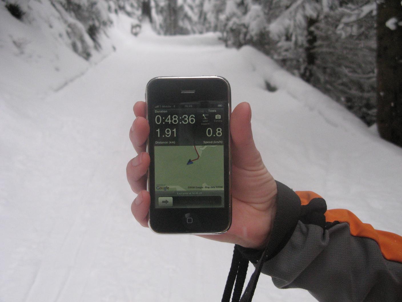
Trails is an iPhone application that lets you import, export and record GPS tracks. Recording works fine, but chews up battery pretty quickly. Feels a bit odd to look at the green Google Maps cartography on the display when everything around you is covered in snow. I should probably file a feature request for real-time map colour coding with Google – so some 20% project mastermind can do a kick-off, dig into real time weather and snow forecast data, figure out an algorithm and then use some magical filter to give the map a more realistic look – a cold snowy one that would be here. Or how about OpenPiste Map? Hold on, I just saw I can now style my own map. But then, how do I get it displayed on the iPhone afterwards?
You could ask the Trails developers to allow you to use your own style?